Geoflyer World Web App
gCARTA’s gotten big… as the world!
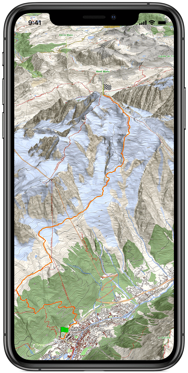
Discover the most detailed map in the world you’ve ever seen, based on a high resolution digital terrain model.
Discover how you can broaden your experience with GeoFlyer 3D Maps to make your outdoor activities even more unforgettable.
Your ideal outdoor companion

Our Technologies
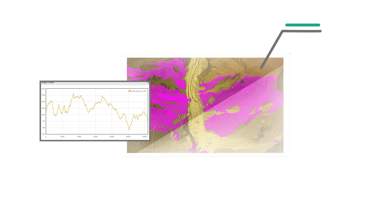
We develop new technologies and software products for GIS-based applications, with particular specialization in 2D / 3D presentation and visualization.
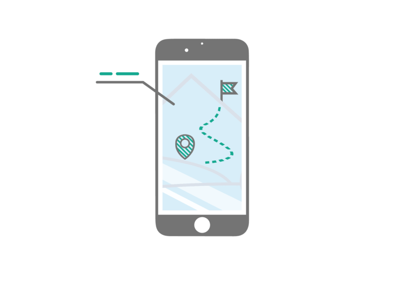
Mobile Device Apps
We offer a wide range of solutions in the field of geographical data processing and GIS data disclosure, in the management and analysis of big GIS rasters and in the implementation of mobile mapping applications.


Custom Solutions and Services
Starting from the specifications of the customer, we create customized and innovative products and services, which perfectly meet individual requirements.
Our Technologies
We develop new technologies and software products for GIS-based applications, with particular specialization in 2D / 3D presentation and visualization.
Mobile Device Apps
We offer a wide range of solutions in the field of geographical data processing and GIS data disclosure, in the management and analysis of big GIS rasters and in the implementation of mobile mapping applications.
Custom Solutions and Services
Starting from the specifications of the customer, we create customized and innovative products and services, which perfectly meet individual requirements.
News
and latest updates
03/12/2018: GeoMind’s new website is now online!
09/04/2018: GeoMind is involved in “TurfUp” project
17/02/2018: The new version of “GeoFlyer Europe” have been released on the Google Play Store
27/10/2017: The Android version of GeoFlyer Europe has been released on the Google Play Store
17/05/2017: The new versions of GeoFlyer North America and Europe have been released on the App Store