3D App
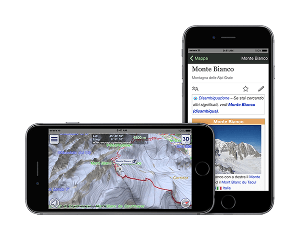
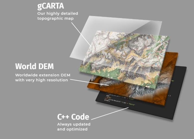
Thanks to our technologies we realize Mixed Reality (MR) applications: the external world captured by the device’s camera is enriched not only with geo-referenced information useful for the user, but also with virtual elements (eg: 3D terrain model) that can be overlapped with respect to the actual image provided by the camera.

Mixed Reality App
Thanks to our technologies we realize Mixed Reality (MR) applications: the external world captured by the device’s camera is enriched not only with geo-referenced information useful for the user, but also with virtual elements (eg: 3D terrain model) that can be overlapped with respect to the actual image provided by the camera

