Global Terrain Server
The Global Terrain Server (GTS) is a set of software modules developed by GeoMind that manage, catalog, modify, process and analyze GIS rasters of any type and size.
Global Terrain Server
The Global Terrain Server (GTS) is a set of software modules developed by GeoMind that manage, catalog, modify, process and analyze GIS rasters of any type and size.
It can also historicize a 3D raster data with minimal redundancy.
GTS implements multi-resolution and spatial indexing, and supports the transformation and calibration of the projection.
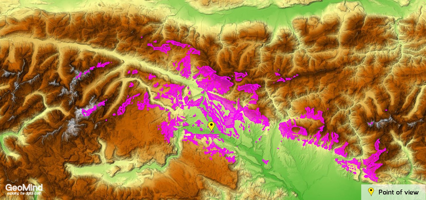
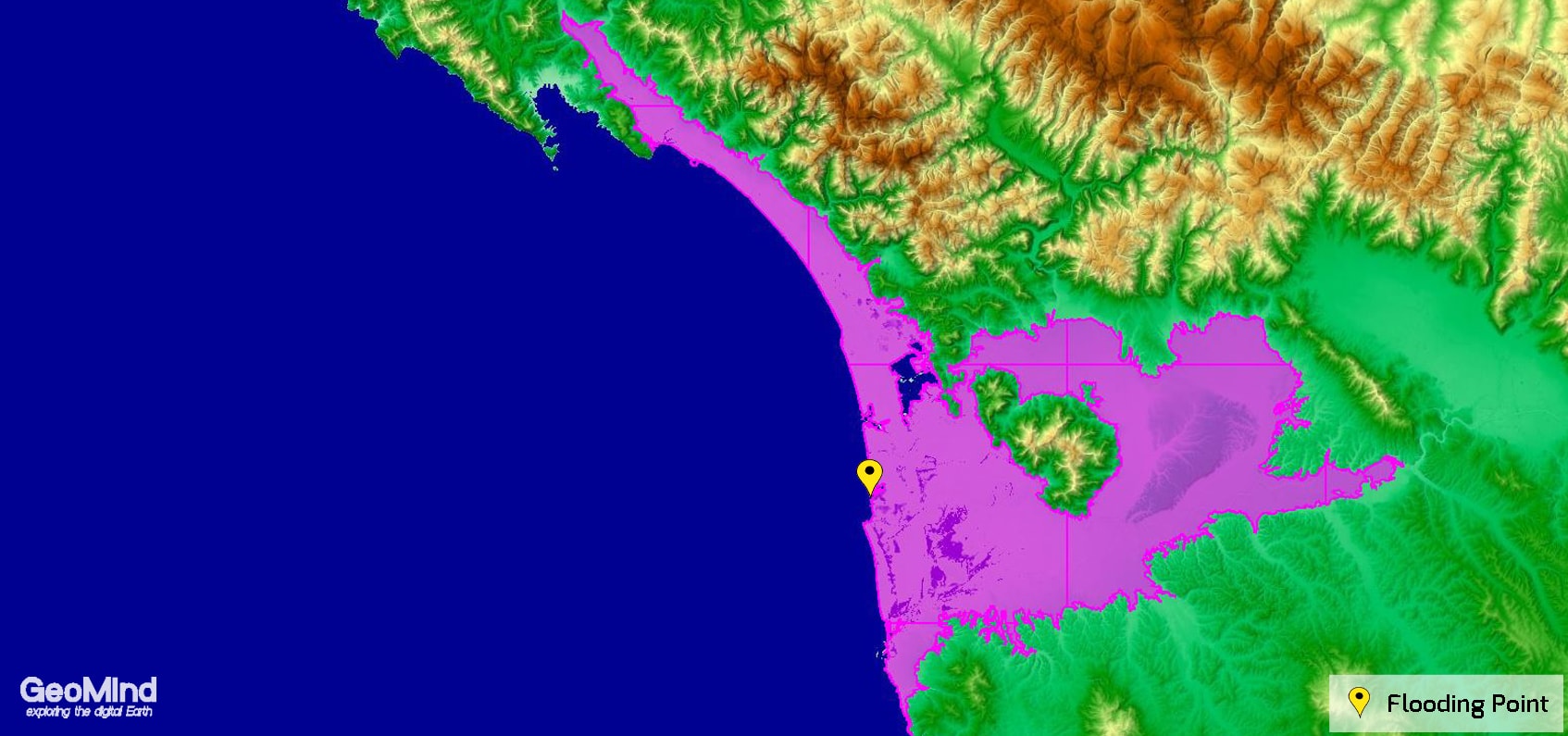
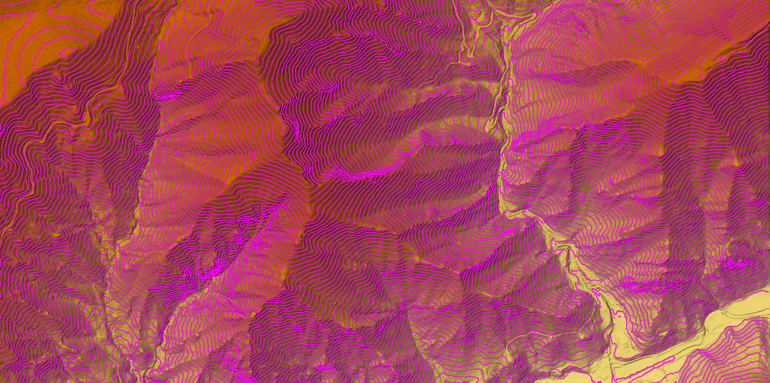
GTS is rich in processing algorithms dedicated to DEM data, full of analysis tools and is able to immedialtely create 3D meshes and contour lines.
All this can be further expanded with pluggable algorithms.
The Global Terrain Server provides its functionality according to the WPS (OGC) standard
Its dynamic libraries can also be used for desktop applications.


